Dehradun
← Explore all places
City Garhwal 6 community photographs

Dehradun

The Doon Valley gateway to Mussoorie, Rishikesh, forests, old institutions and Himalayan journeys.

Dehradun, Uttarakhand, India
Open in Maps
LocationDehradun, Uttarakhand, India
Altitude640 m
ExperienceCity
Best seasonOctober to April is best for pleasant weather, city walks and clearer views. March to Jun…

About the place

The feeling of Dehradun

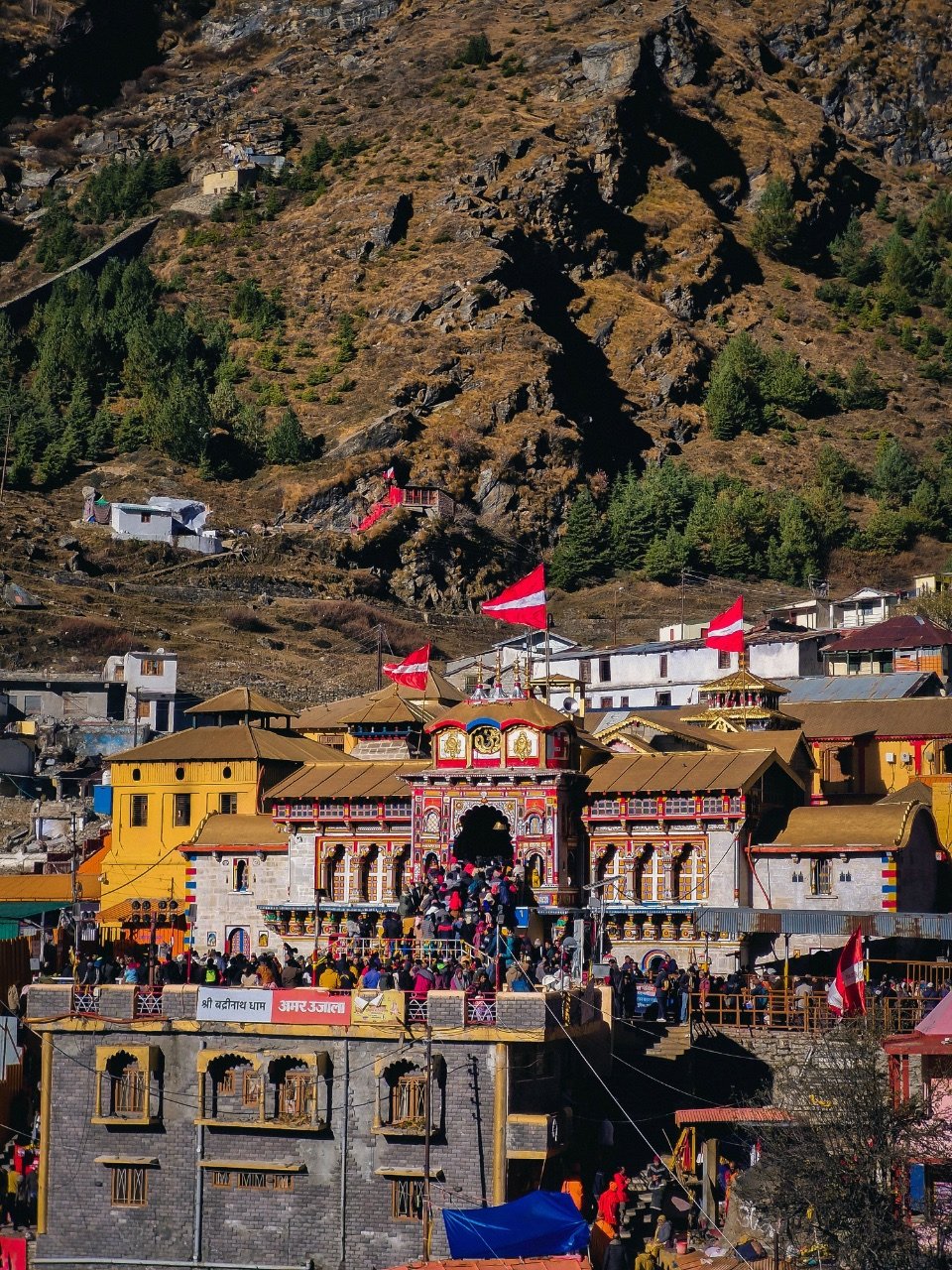
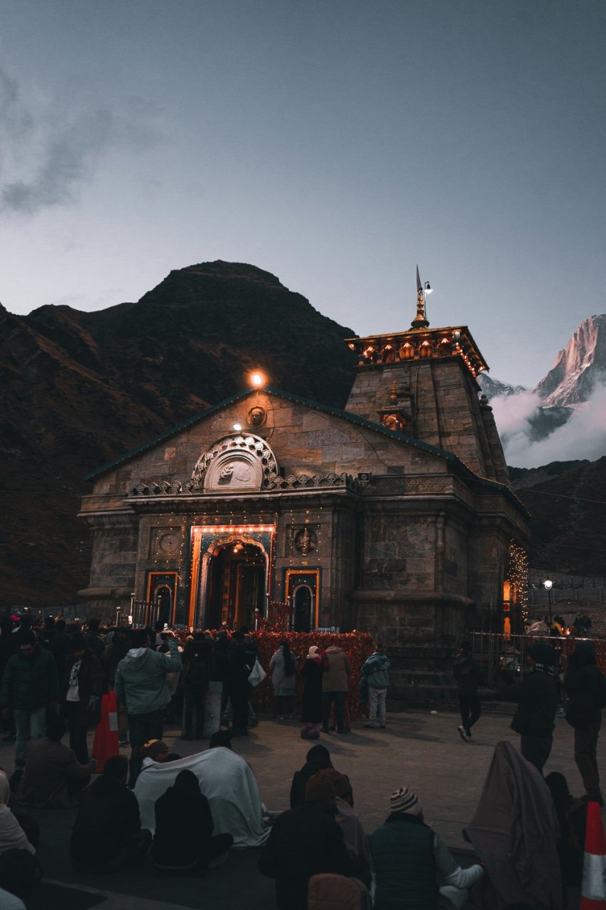
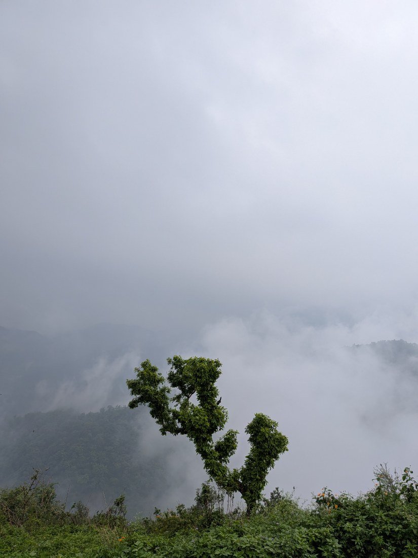
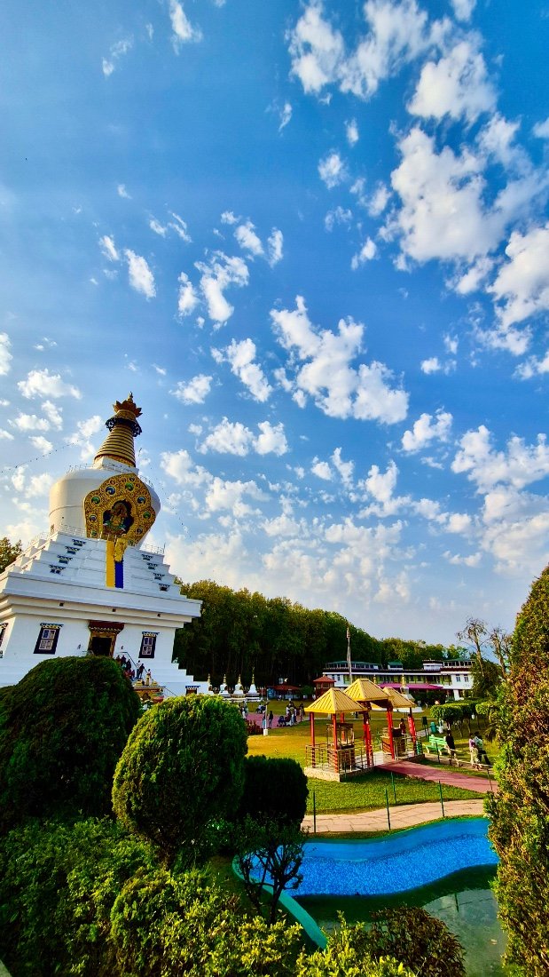
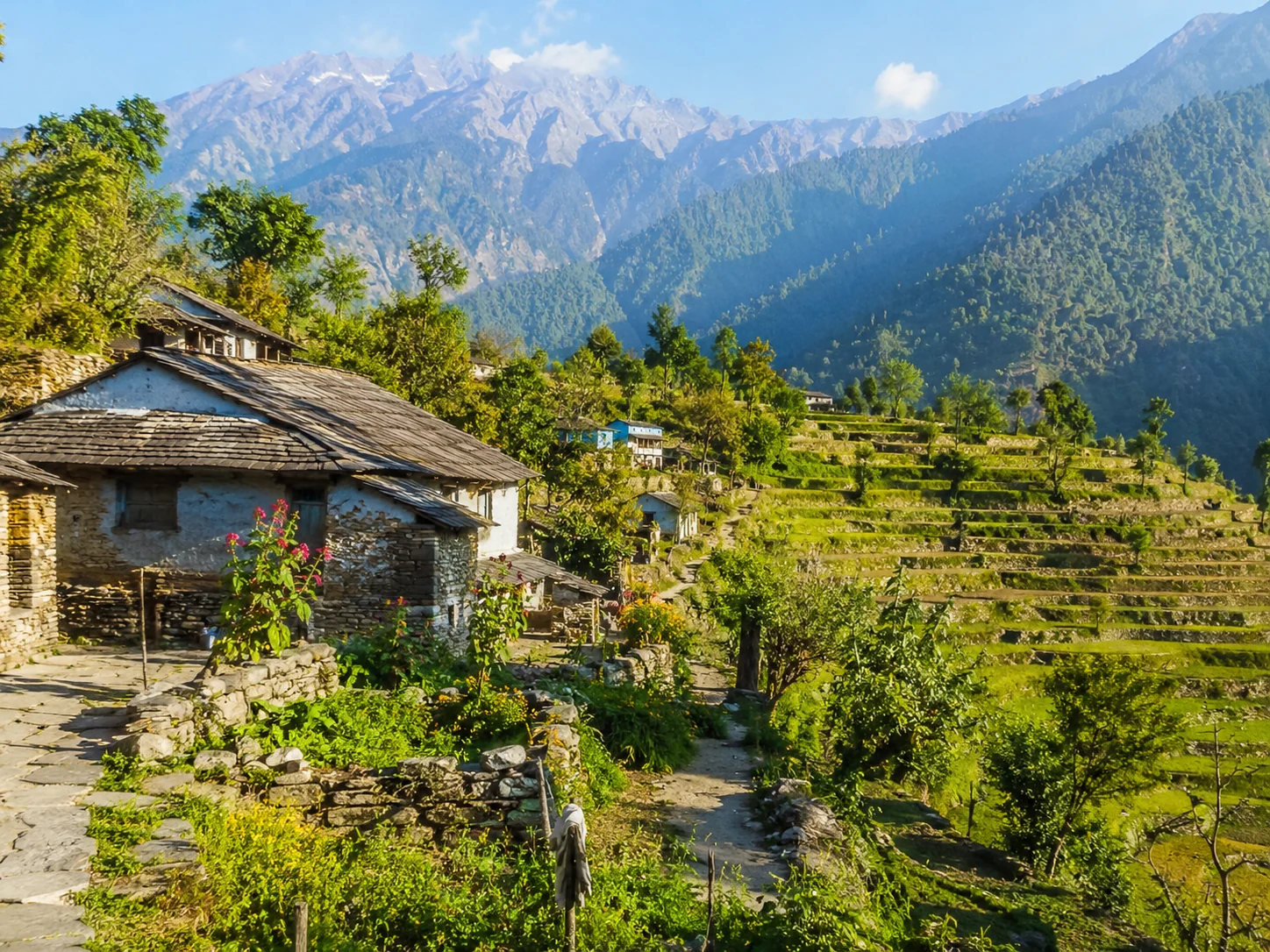
Dehradun is a major gateway to Uttarakhand, set in the Doon Valley between the Shivalik hills and lower Himalayas. Known for places like Forest Research Institute, Robber’s Cave, Tapkeshwar Temple, Sahastradhara and Rajpur Road, the city offers a calm mix of nature, heritage, food and mountain-town charm.
How to reach

Your way to Dehradun

Built from travel connections reviewed by Pahad Calling. Distances and times are guidance—not live traffic information.

Route 1

Rishikesh to Dehradun

39 km 1 hr 10 min
Rishikesh City
Hill Road 39 km
Dehradun City
Route 2

Rishikesh to Dehradun

125 km 3 hrs 47 min
Rishikesh City
Highway 24 km
Haridwar City
Highway 31 km
Roorkee City
Highway 70 km
Dehradun City
Route 3

Rishikesh to Dehradun

152 km 5 hrs 40 min
Rishikesh City
Hill Road 60 km
Chamba Town
Hill Road 16 km
Kanatal Village
Hill Road 6 km
Kaddukhal Village
Hill Road 8 km
Dhanaulti Landmark
Hill Road 24 km
Mussoorie Landmark
Hill Road 38 km
Dehradun City

Real journeys

Stories from Dehradun

Read the story →

Continue exploring

More from Uttarakhand